
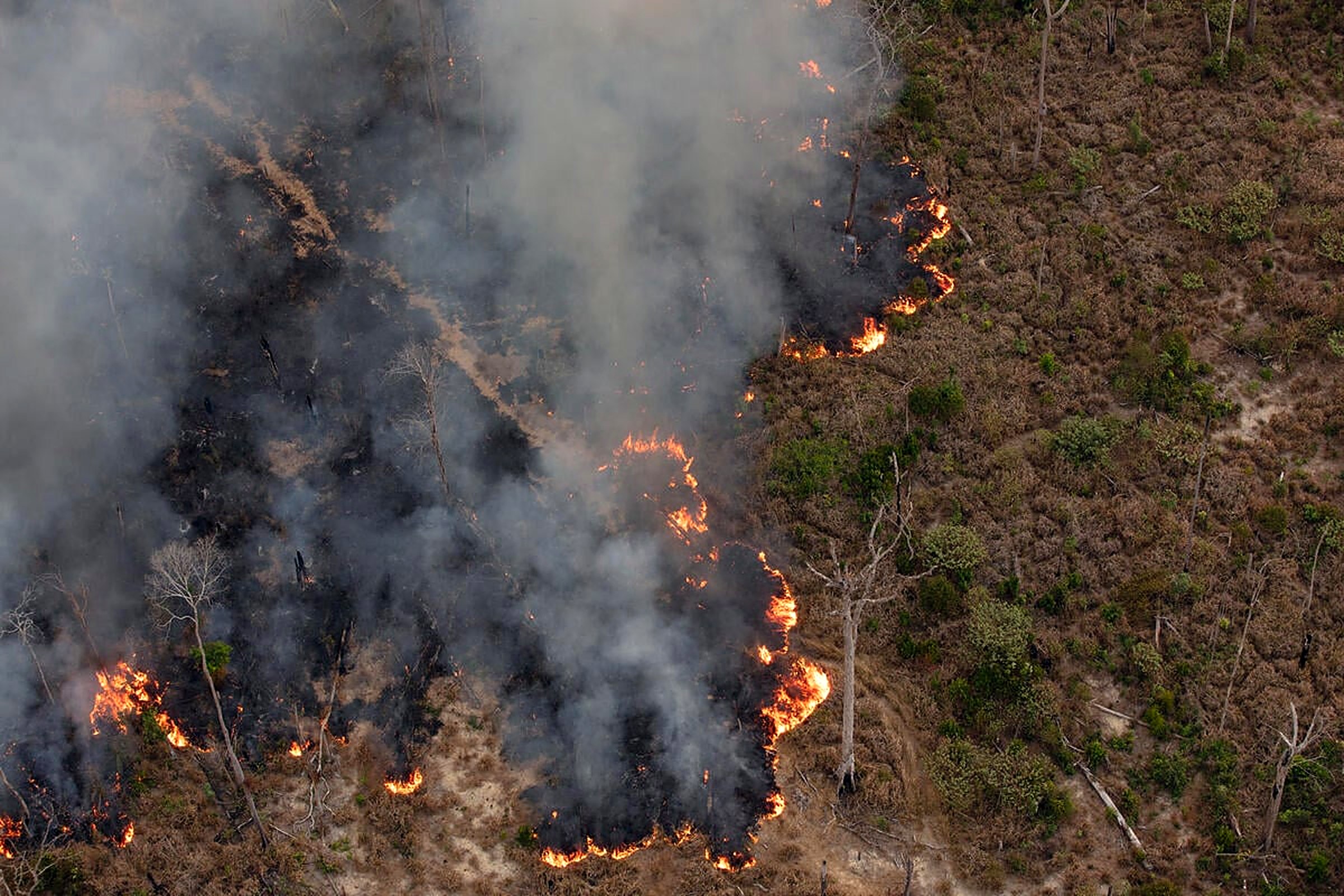
Assess the fire damage
before arriving
at the site.
Satellite imagery and AI to identify, map and prioritize post-fire damage.
Damage Classification
Affected Area
847 ha
Assets Exposed
34
High Priority
12
Observation
T+3 days
From fire event to
damage evidence.
From satellite observations to actionable intelligence for insurance and loss assessment.
Event Detection
Identification of the affected area and approximate fire event date.
Satellite Acquisition
Selection of pre- and post-event satellite observations from Sentinel-2.
Image Processing
Radiometric correction and scene preparation for spectral analysis.
Spectral Change Detection
Multi-band comparison to detect vegetation and surface changes.
RBR Analysis
Relativized Burn Ratio characterizes fire-associated spectral changes.
High-Resolution Fusion
Sentinel-2 spectral data fused with high-resolution context for asset-level visualization.
Damage Intelligence
Classification and delimitation of affected areas by damage severity.
Asset Impact
Damage intersected with buildings, vegetation, plantations, parcels and insured assets.
Loss Assessment Support
Maps, metrics and evidence packages for evaluation and claim prioritization.
Go beyond the burn perimeter.
See what was affected.
A fire perimeter alone isn't enough. ScoutVision intersects damage evidence with insured assets to show what needs attention.
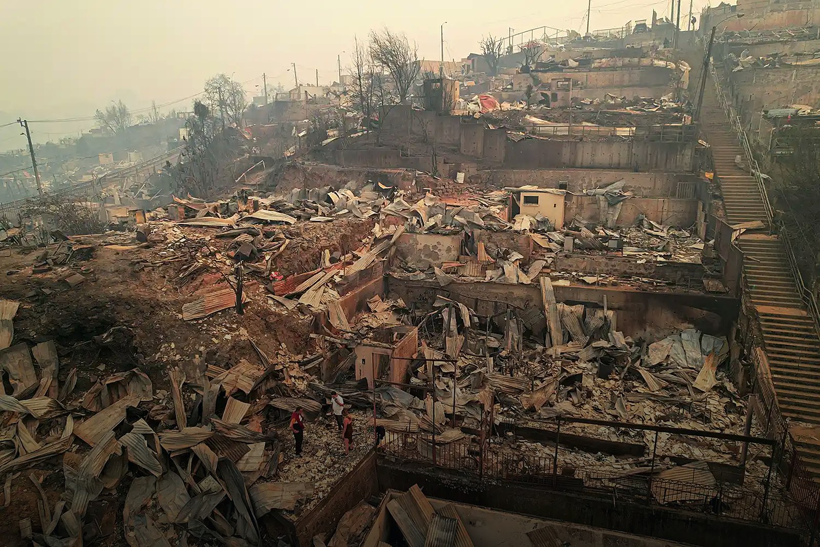
Buildings
Potentially affected structures
34
structures in zone
Demo Data · Illustrative Scenario
Vegetation
Burned vegetation cover detected via spectral change.
612 ha
vegetation impacted
Plantations
Affected productive forest and agricultural areas.
235 ha
plantation exposure
Parcels
Cadastral parcels intersecting the affected area.
89
parcels intersected
Infrastructure
Roads, utilities and assets within affected territory.
12
infra assets exposed
From thousands of affected properties
to the claims that need attention first.
ScoutVision links damage evidence to your claims portfolio for faster, more timely analysis.
DAMAGE
Where did change occur?
EXPOSURE
Which insured assets intersect?
PRIORITY
Which cases need attention first?
FIELD
Where should adjusters be deployed?
Damage Intelligence Framework
Intelligence that drives
faster decisions.
Satellite evidence layered into the claims workflow — without replacing professional judgment.
Faster Triage
Help determine which cases require attention first, before inspectors reach the site.
Better Visibility
Understand damage across large territories from a single analytical environment.
Field Efficiency
Direct inspections toward higher-priority areas with satellite evidence support.
Portfolio Intelligence
Analyze multiple insured assets simultaneously across catastrophe events.
Consistent Evidence
Apply a standardized geospatial methodology across all events and claims.
Reduced Uncertainty
Add objective satellite observations to the assessment process.
Traditional Assessment
- Field-first assessment
- Limited territorial visibility
- Manual prioritization
- Separate image sources
- Individual claim review
- Static photographs
- Unstructured evidence
ScoutVision
- Satellite-first screening
- Wide-area observation
- Evidence-based prioritization
- Integrated geospatial analysis
- Portfolio-level intelligence
- Before/after comparison
- Standardized analysis
Turn wildfire imagery into
actionable damage intelligence.
Identify affected areas and prioritize claims with satellite evidence — before inspectors arrive.